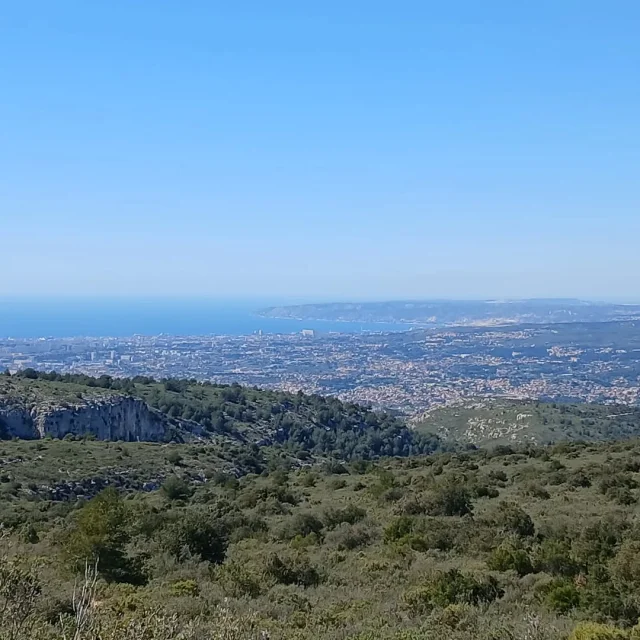
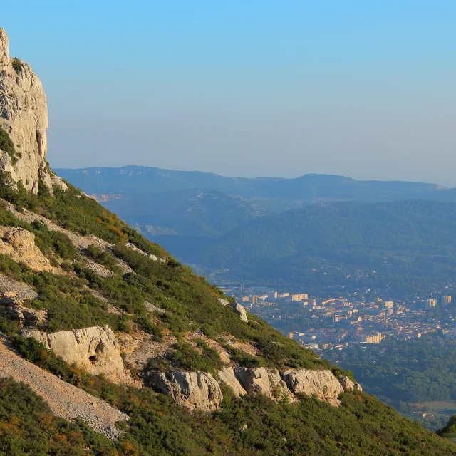
Le Télégraphe chaîne de Saint-Cyr OTI_AubagneLe Télégraphe chaîne de Saint-Cyr OTI_Aubagne
©Le Télégraphe chaîne de Saint-Cyr OTI_Aubagne|GM OTI Aubagne

THE SAINT-CYR RANGE

OUR LEGENDARY TRACKS

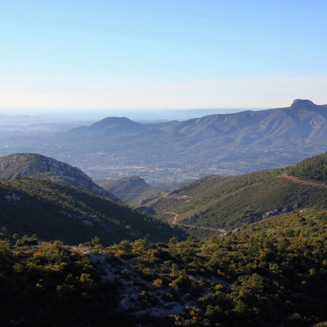
Located in the South-East of the city of Marseille and in the South-West of the city of Aubagne, the Saint-Cyr Range runs along the Huveaune valley.

The Saint-Cyr Range

A major part of this range is located on the Marseille area. The North-East of the range spreads out between La Penne-sur-Huveaune and Aubagne. Its peak is Mount Carpiagne (646 m). Two peaks of the Saint-Cyr Range are in the Pays d’Aubagne et de l’Étoile:

  • La Candolle (404 m), overlooking La Penne-sur-Huveaune,
  • Le Télégraphe (321 m), overlooking La Penne-sur-Huveaune and Aubagne.
    The range, consisting of limestone rocks only, is carved by multiple valleys that suggest a star-shaped hydrographic network around the mountaintops, none of which having a river running through, except after heavy rainfalls.


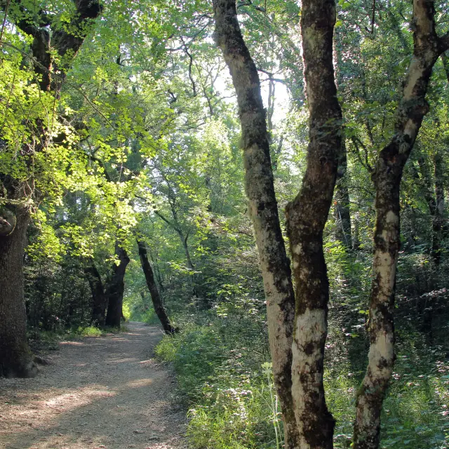
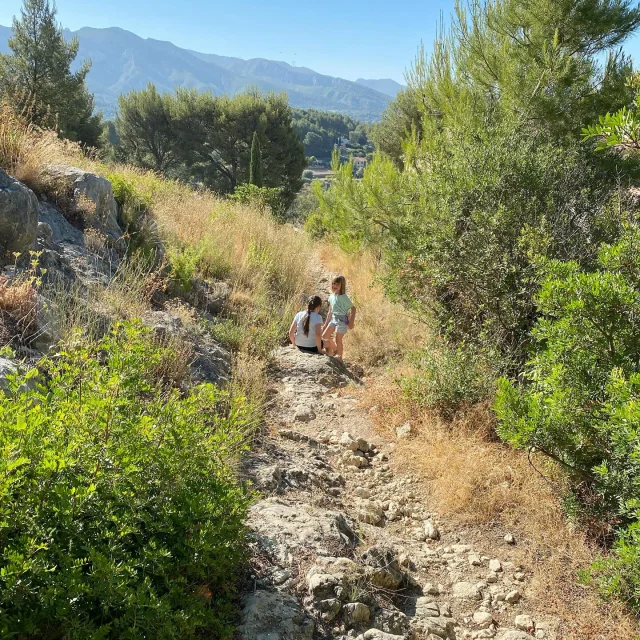
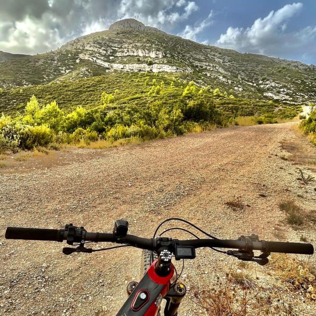
    The signposted footpath that runs along the Saint-Cyr Mountain range leads to the Base sport-nature de La Coueste in  Aubagne, where you can practice mountain-biking, sporting trails, orienteering and botanical walks that are set up there.

    Close