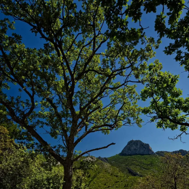
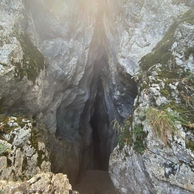
An Exceptional Natural Heritage
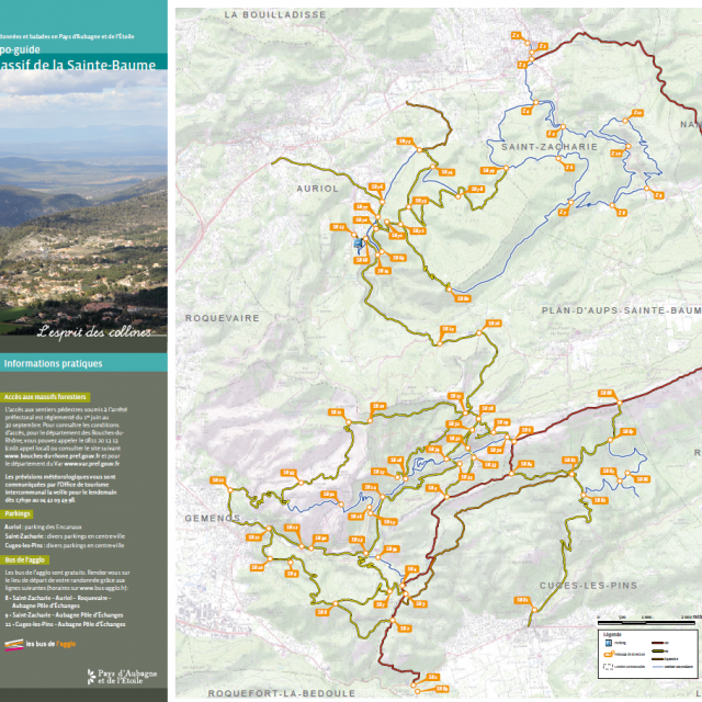
In this guide, the Pays d’Aubagne et de l’Étoile suggests a map of the Sainte Baume with 12 hiking routes starting from the cities of Auriol, Saint-Zacharie and Cuges-les-Pins. This limestone range, haven for an exceptional natural heritage, is the most extensive and the highest of the Provençal ranges. Straddling the departments of Var and Bouches-du-Rhône, it stretches from East to West over nearly 14 km.
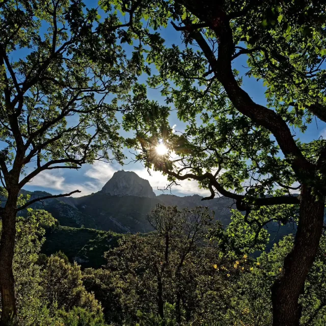
On its Northern slope, the forest of the Sainte-Baume is spreading with its remarkable beech forest, last remnants of the forests that covered Provence some 100 years ago. In its cliffs, hides Marie Magdalene’s grotto, high place of pilgrimage in the Middle Ages.
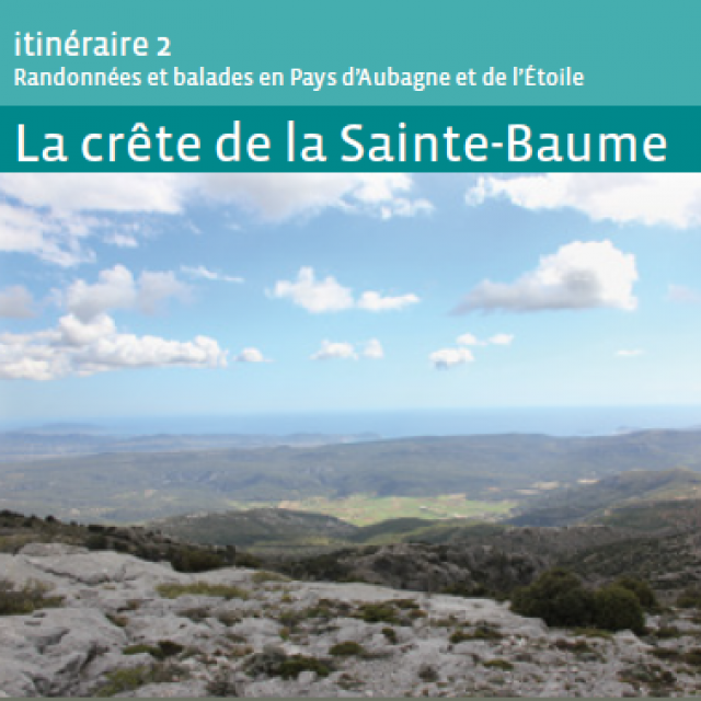
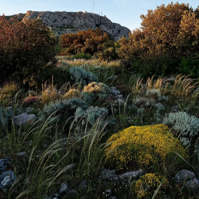
The Southern side has a more arid vegetation coverage, typical of the Mediterranean forests, with pine trees, holm oaks, arbutus, and scrubland.
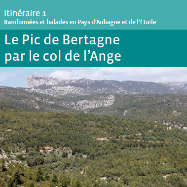
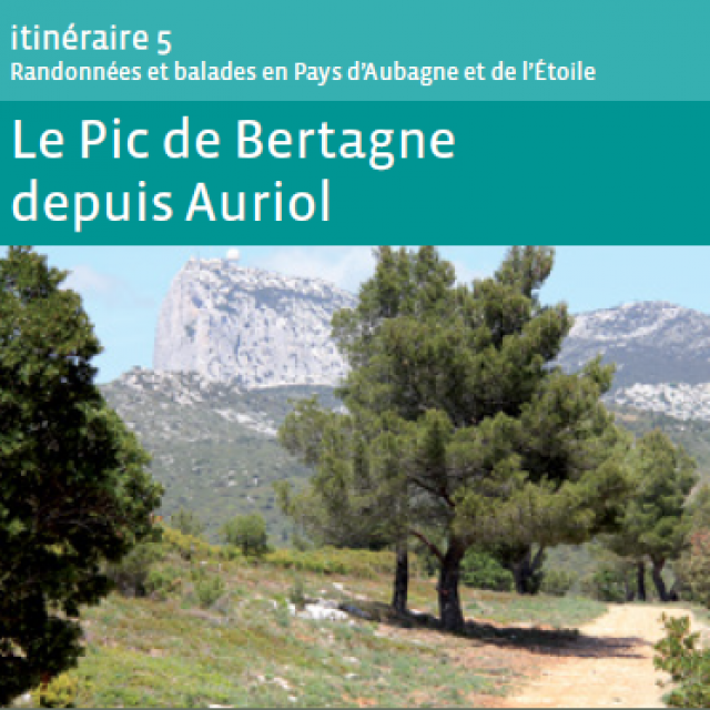
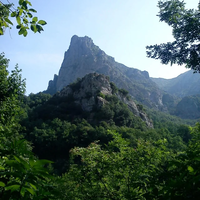
Along its ridges, the Joug de l’Aigle and the Signal des Béguines both peak at 1,148 m, while on the Western slope, the Pic de Bertagne forms a majestic rocky spur towering at 1,042 m.
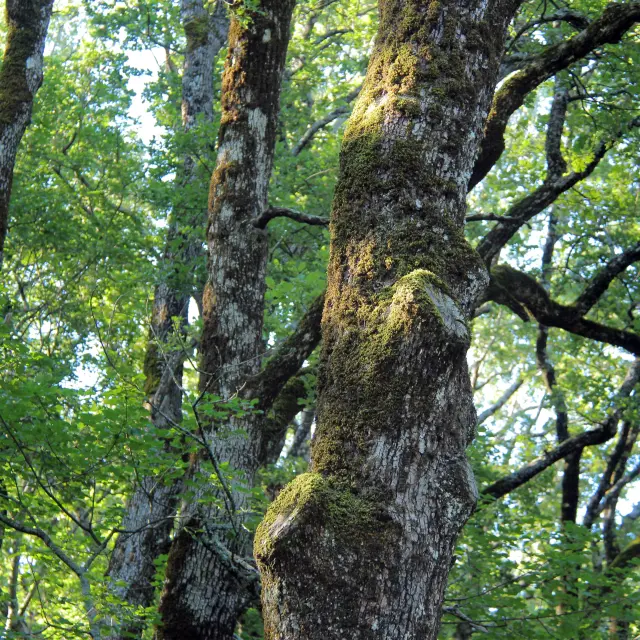 Chenes Foret Sainte Baume Oti Aubagne
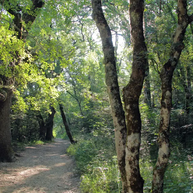 Balade Nature Foret Sainte Baume Source Des Nayes Oti Aubagne
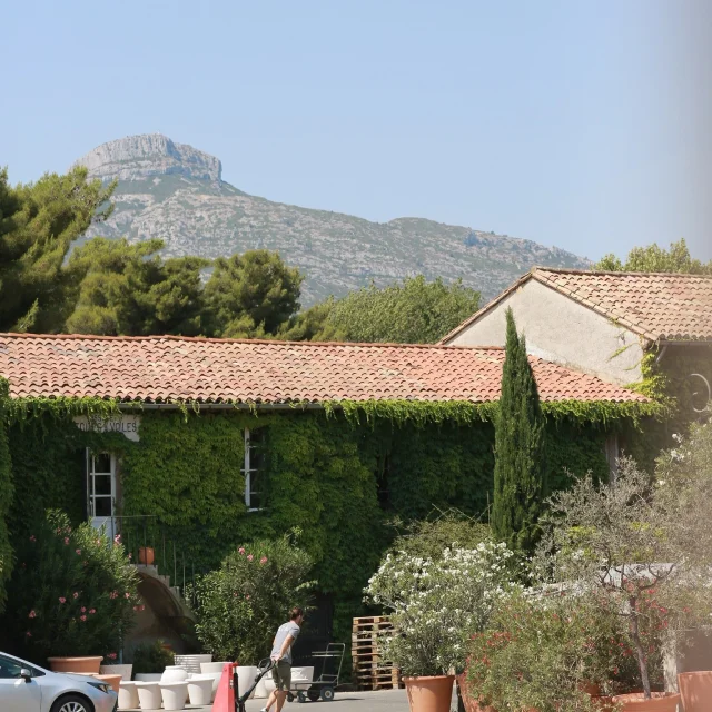
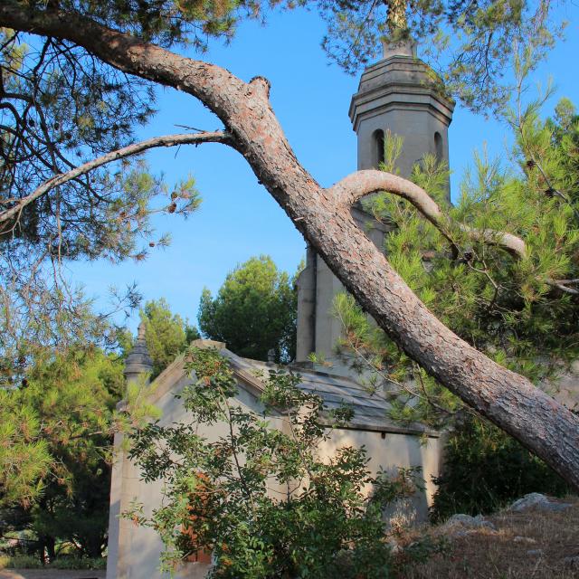 Saint Antoine Cuges Les Pins Oti Aubagne
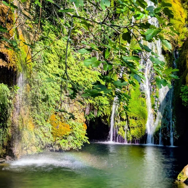
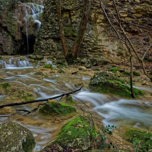
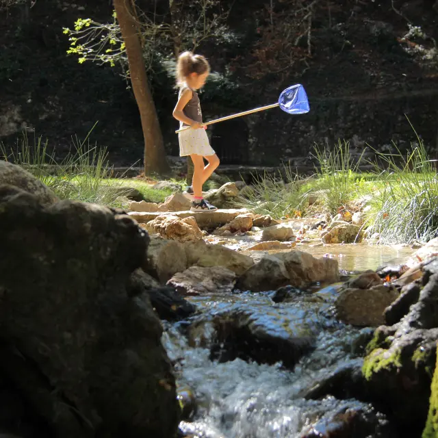 Detente Famille Source Des Nayes Eau Peyruis Saint Zacharie Oti Aubagne
