-Start from the Christophe Pignol sports ground. Follow yellow signs.
Take care on the main road.
-Wooden sign follow col du marseillais. Yellow markings. Continue on the road to the two pine trees (1.5 km), leave the road and take the track.
-Col du marseillais (Post GB 38) Follow Mont des Marseillais yellow markings.
-To Mont du Marseillais (Post GB 39) follow Mont du Marseillais yellow markings.
-Mont du marseillais (Post GB58) follow Lascours via Sanago. Yellow markings until junction at 4.2 KM.
-Crossroads at 4.2 km. Turn right uphill. Follow yellow signs.
-(Post GB 60) Follow direction corniche du grand vallon. Yellow markings.
-(Post GB33). Follow direction corniche du grand vallon. Yellow markings.
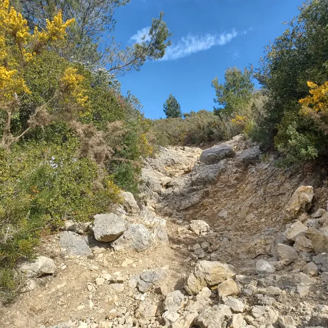
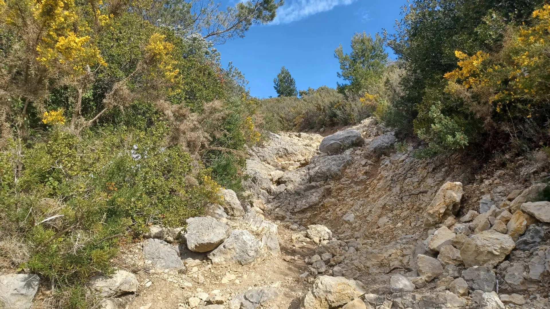
-(Post GB 34). Follow direction Lascours. Yellow markings. Caution: steep descent from 6.7 km for two km.
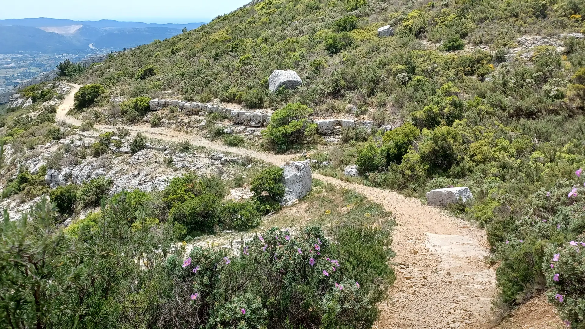
-Return on asphalt road. Follow yellow markings.
-Parking sign at 400m. Follow yellow markings, beware of the road.
-Arrival at Christophe Pignol sports complex.
Read more