A hike starting from Lascours with a steep ascent and superb views.
-Start from Place de la Mairie . Follow yellow signs. Direction lotissement le Deven . Take care on the main road.
-Wooden sign follow Carreirade de Pierresca . Yellow signs. Continue to the right.
-Follow chemin de Font de Mule yellow markings.
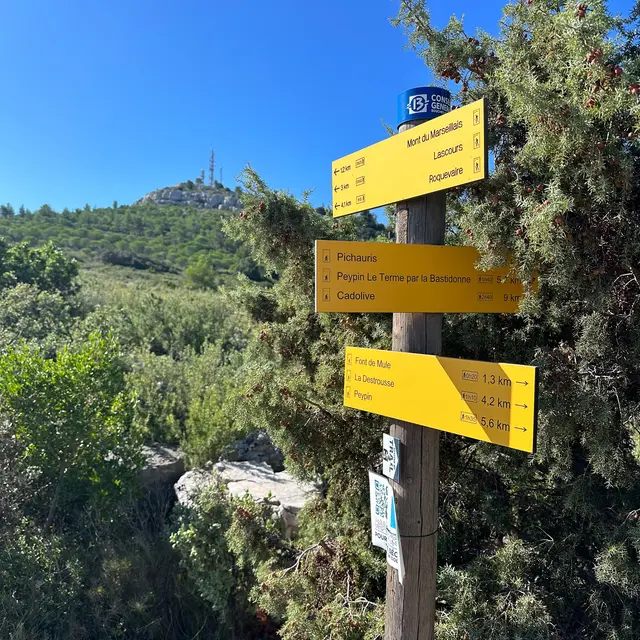
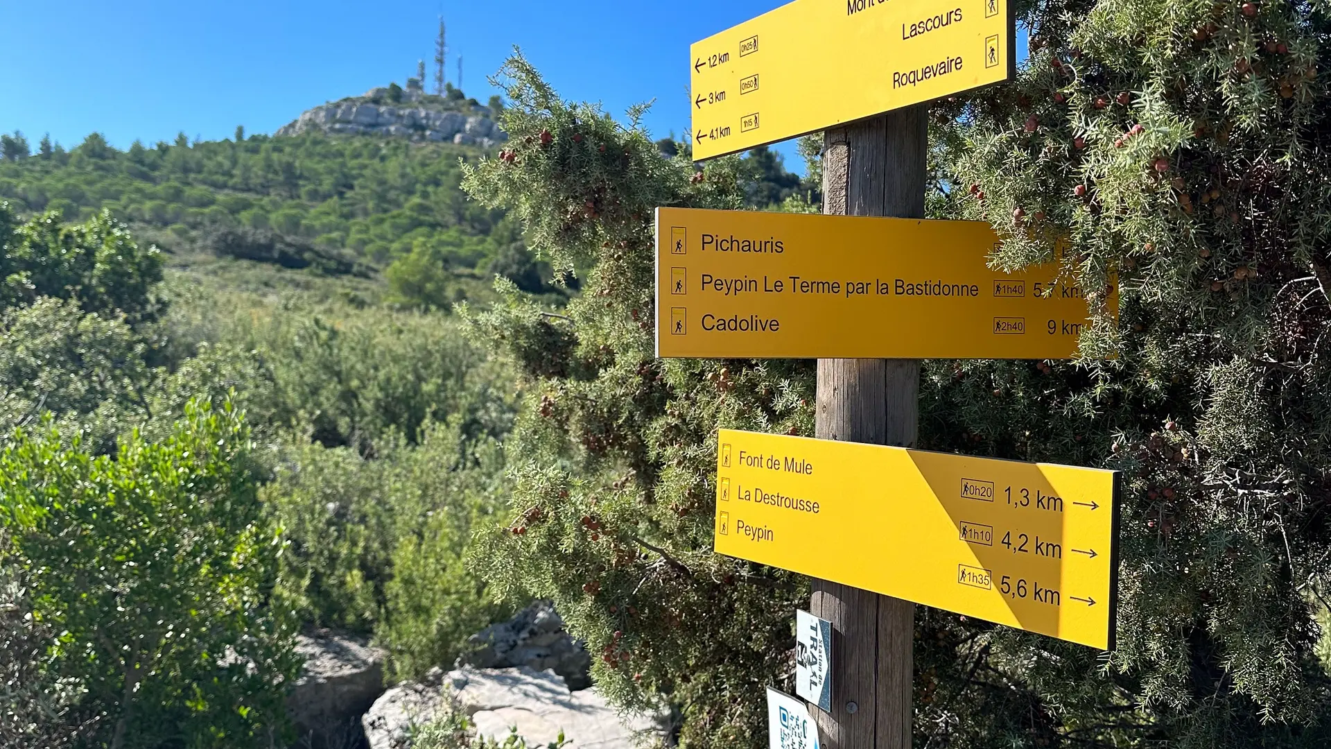
-(Post GB 55) follow Mont du Marseillais. Yellow markings.
-(Post GB 56) follow Mont du Marseillais. Yellow markings.
-(Post GB 57) follow Mont du Marseillais. Yellow markings.
-(Post GB 39) follow Mont du Marseillais. Yellow markings.
-(Post GB 58) follow Mont du Marseillais. Yellow markings.
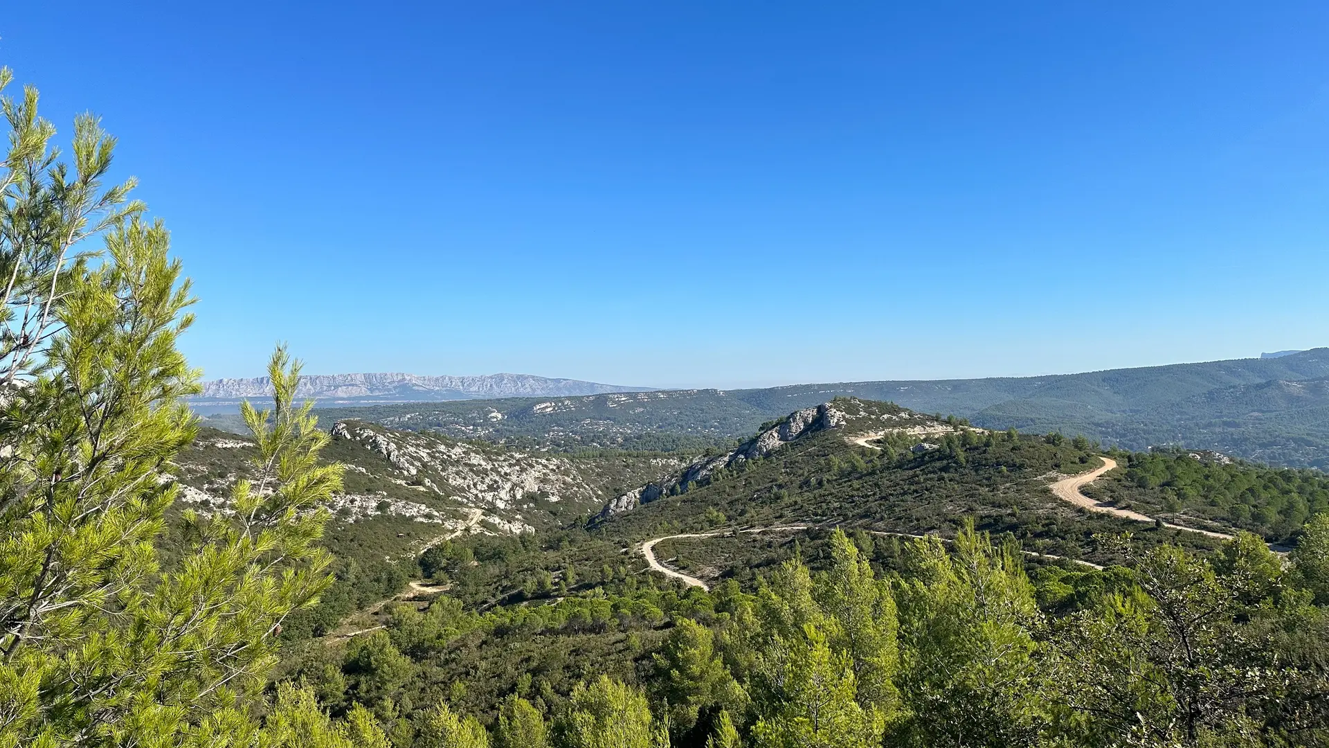
-Mont du Marseillais. Yellow markings go down.
-(Post GB 58) follow Destrousse via vallon de Pierresca. Yellow markings.
-(Post GB 39) follow La Destrousse by vallon de Pierresca. Yellow markings.
-(Post GB38) follow La Destrousse by vallon de Pierresca. Yellow markings.
-Rocher Yellow markings. Follow Vallon de Pierresca.
-(Post GB 61) follow Destrousse. Blue markings.
-Exit trail. Follow blue markings. Caution route départementale.
-(Post GB 55) follow Destrousse. Yellow markings.
-Arrive at the town hall square.
Read more