-Depart from Col de l'Ange parking lot (SB 01 post). Follow signs for Col du Saint-Pilon.
White and red markings. On the GR 98, head "North", bypass the Pey Gros on its southern flank and arrive at the Bergerie du Cruvelier (do not enter, private property).
-Carrefour du Cruvelier (post SB 02). Follow signs for Col du Saint-Pilon.
White and red markings. Take the right-hand track. Pass to the left of Monsieur Turron's Cabanon and go down to the Chemin du Blé crossroads.
-Chemin du Blé crossroads (post SB 03). Follow signs for Col du Saint-Pilon.
Go straight ahead and descend to the Cabrelle crossroads.
-Carrefour de Cabrelle (post SB 04). Follow signs for Col du Saint-Pilon.
White and red markings. Follow the GR 98 up to the right and continue to the Défens crossroads.
-Bergerie du Défens (post SB 05). Follow signs for Col du Saint-Pilon.
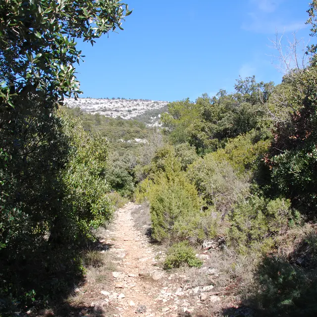
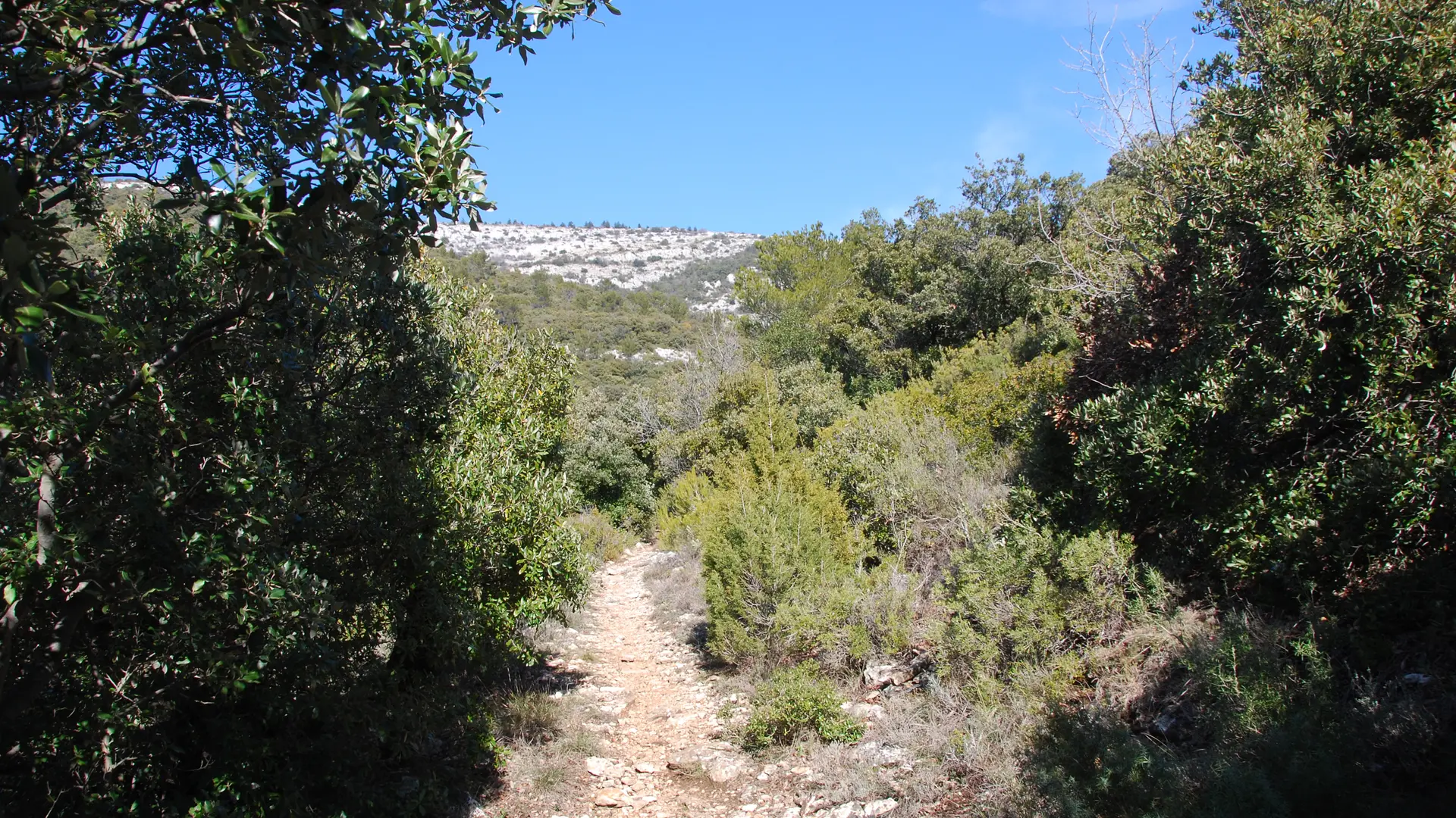
White and red markings. Continue straight ahead on the GR 98, past the remains of the Bergerie du Défens and up the Vallon de l'Aigle to the Col de l'Aigle.
-Col de l'Aigle (post SB 84). Follow signs for Col du Saint-Pilon.
White and red markings. A gully-damaged path leads to the Carrefour de l'Escandaou.
-Carrefour de l'Escandaou (post SB 06). Follow signs for "Pic de Bertagne".
Yellow markings. Return to Pic de Bertagne lookout.
Take the yellow route opposite to join the Radar road (signpost
marker no. 29) and follow this road to the left.
take the left-hand path leading to the belvedere.
Do not deviate from the signposted path leading from the Radar road
to the lookout (A-pics).
-Carrefour de l'Escandaou (post SB 06). Follow signs for "Col du Saint-Pilon".
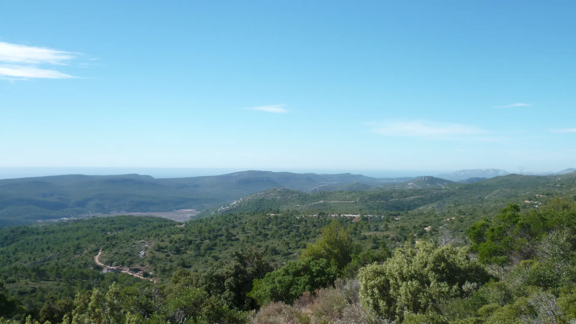
White and red markings. Keep right on the GR 98 heading east, cross the "Champ des Lièvres" and arrive at the Sainte-Baume crest near the antennas (military domain), continue east.
-Crête de la Sainte-Baume (post SB 88). Follow signs for "Cuges-les-Pins".
Yellow markings. Leave the GR 98 and turn right, heading south. Descend rapidly into the Beaumissard valley. Pass the cistern and then the Beaumissard shelter.
-Crossroads at Beaumissard (post SB 87). Follow signs for "Jas de Sylvain -Cuges-les-Pins".
Yellow markings. Stay on the "Yellow" route, cross the Grand Vallon and reach the Jas de Sylvain crossroads.
-Carrefour du Jas de Sylvain (post SB 83) Follow signs for Col de l'Aigle.
Turn right (yellow markings).
-Col de l'Aigle (post SB 84). Turn left towards Bergerie de Defens to rejoin the trail taken on the outward journey for the return journey. Yellow markings.
-Col de l'Ange parking lot (post SB 01). Arrival
Read more