-Start from the Encanaux parking lot. Descend towards La Vède and Les Encanaux
-Ex parking lot (post SB 23). Follow ''La Glacière
Take the right-hand path marked ''Bleu''.
-Piste des Encanaux (post SB 68). Follow "Pont des Encanaux".
Find the Encanaux trail and turn right, marked "Yellow".
-Follow "Les Lagets" (post SB 24). Stay on the track.
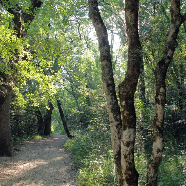
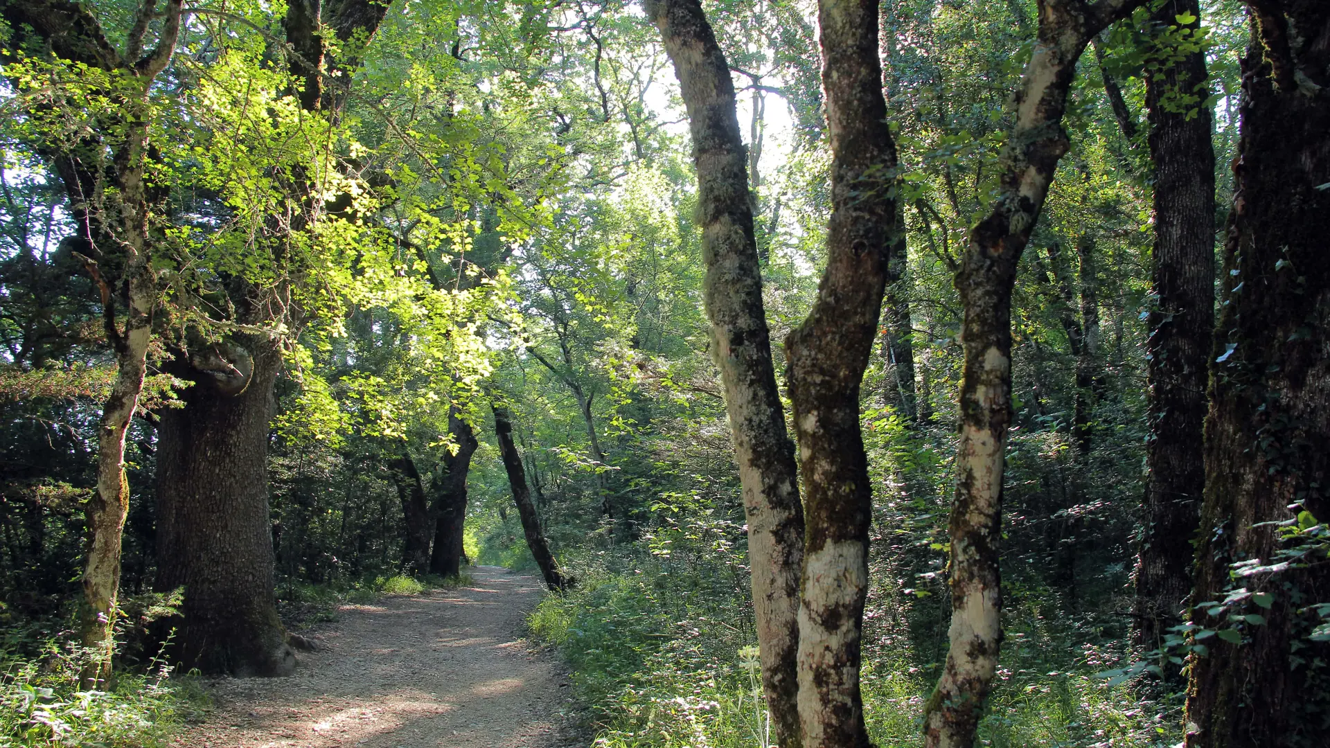
-Pont des Encanaux (post SB 89). Follow signs for "Les Lagets par les Hélianthes". After crossing the bridge, leave the track and turn left onto the "Sentier des
Chèvres Sauvages'', marked ''Bleu''.
-Sentier des Chèvres Sauvages (post SB 77). Follow signs for "Les Lagets".
Find the track and turn left.
-Carrefour de l'Horloge (post SB 76). Follow "Les Lagets".
At the crossroads, take the path opposite marked ''Bleu''.
-Chemin des Hélianthes/Carrefour des Lagets (post SB 75). Follow signs for "Pont des Encanaux par le Bois de la Lare".
Take the right-hand uphill track marked ''Jaune''.
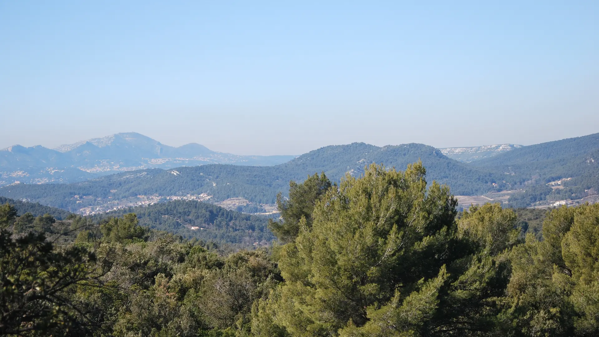
-Grand Vallon crossroads (signpost SB 74). Follow signs for "Saint-Zacharie".
Leave the track and turn left on the ''Sentier du Grand Vallon'' marked ''Bleu''.
-Le Grand Vallon. Descend and cross the Grand Vallon
-The ''Bois de la Lare'' trail (post SB 78). Follow "La Source des Nayes".
Meet the "Bois de la Lare" track and turn left, marked "Yellow".
Department boundary 13 / 83 (post SB 79). Follow signs for "La Source des Nayes".
At the DFCI barrier, take the left-hand path down into the valley
which forms the boundary between départements 13 and 83 Tracé ''Bleu''.
At the bottom of the valley, take a steep right to join the Adrets trail. Follow the track to the left until you reach the Garnier surfaced road, which you leave on the right to reach Les Nayes.
-At Les Nayes (post Z4), follow the signs for "L'Adret du Plan d'Aups".
Pass the Source des Nayes, then follow the course of the Peyruis stream, sometimes on the right bank, sometimes on the left, to reach the Pont d'Orgnon bridge. Take the calade to join the RD 480 road, which you follow for 100 m to reach the crossroads. Blue" route
-Le Pont d'Orgnon / RD 480 junction / Piste des Sources (post Z5). Follow "L'Adret du Plan d'Aups".
At the crossroads formed by the RD 480 and the DFCI track (Piste des Sources), head south on the path leading up into the woods; reach the Défens track.
-Piste du Défens Z6. Follow signs for "L'Adret du Plan d'Aups". Follow the track to the left, heading east, then up the Vallon de la Citerne to the right. Blue'' trail.
-Carrefour des Enfers (post Z7). Follow "L'Adret du Plan d'Aups".
Take the right-hand track. Blue route.
L'Adret du Plan d'Aups Departmental boundary 83 / 13 SB 80. Follow signs for "Pont des Encanaux".
Follow the piste downhill. Yellow'' trail. Leave it after 1 Km 7 (50 m. before DFCI tank no. 94) to take the old mule track "le Chemin de l'Adret" to the left. Rejoin the track.
-Chemin de l'Adret crossroads (post SB 72). Follow "Pont des Encanaux".
Cross the track and head downhill. Yellow" route.
Chemin de l'Adret crossroads (post SB 71). Follow signs for "Pont des Encanaux".
Find the large track and descend to the left.
-Crossroads (post SB 70). Follow "Pont des Encanaux".
Stay on the left-hand downhill track marked "Yellow".
-Pont des Encanaux (post SB 69). Follow "Parking
From the Pont des Encanaux return to the parking lot, staying on the yellow track.
-Parking des Encanaux . Arrival.
Read more