Nice hike on the heights of Cuges les Pins to discover the old days.
- Depart from Hôtel de ville, place Stanislas Fabre:
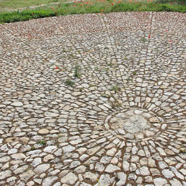
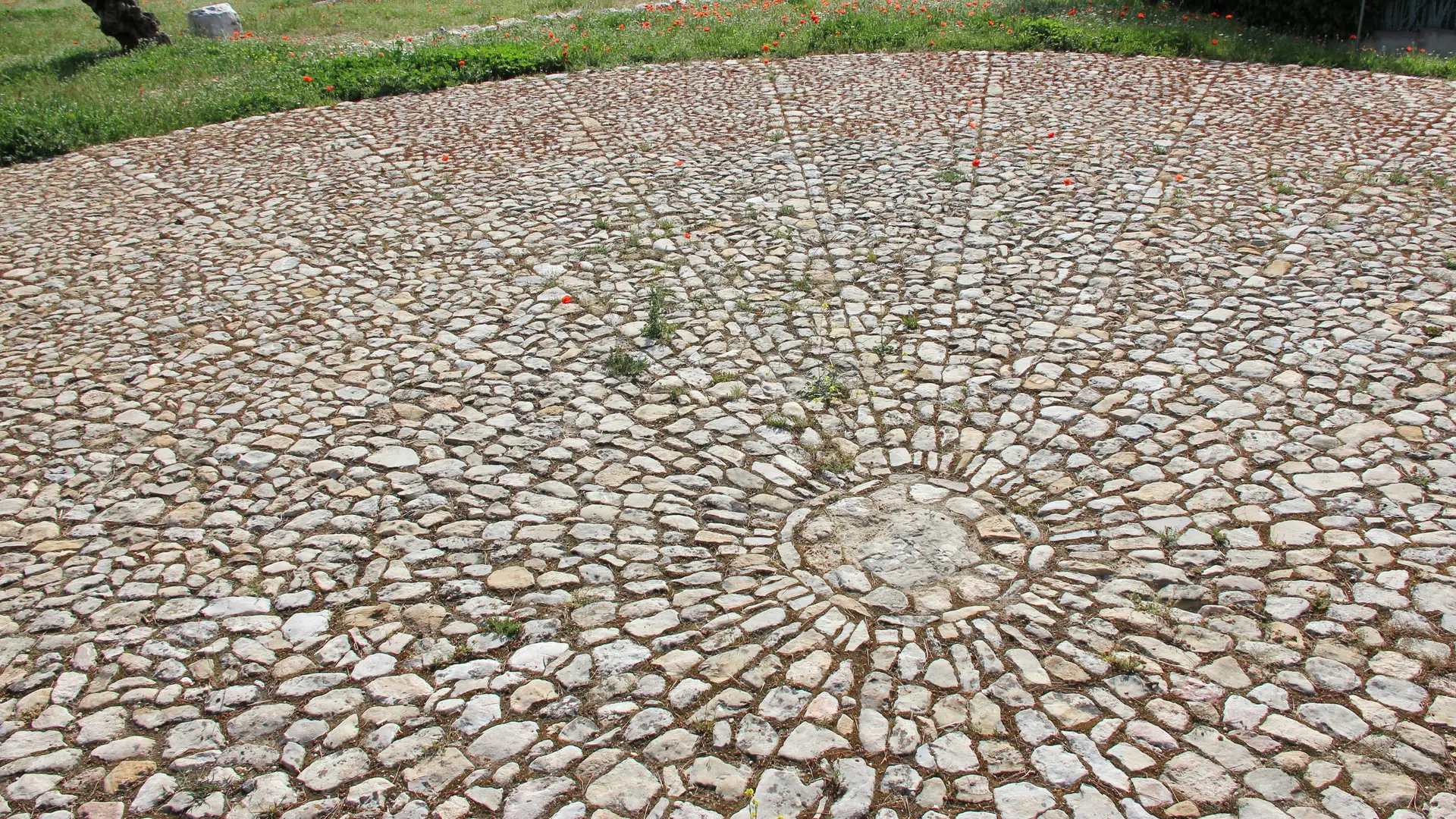
Take boulevard Gambetta north to the former wine cooperative, then chemin de la Ribassée to the threshing floor.
- At SB 81, follow the yellow signs for "Col de l'Aigle":
Follow the Chemin de Ste Madeleine along the bottom of the valley of the same name.
then into the Dausserand valley. Exit to the right along a steeply sloping path to the Siblette crossroads.
- Siblette crossroads :
Follow the yellow markings and continue on the large track heading north.
- Carrefour des Escoussaous (post SB82) follow "Col de l'Aigle" yellow markings:
Continue straight on, heading north.
- Jas de Sylvain crossroads (post SB83), follow signs for "Four à cade - Jas de Frédéric":
Take the right-hand path towards Grand Vallon, yellow markings.
- Grand Vallon :
Cross the Grand Vallon and continue uphill to the east.
- At the Beaumissard crossroads (post SB 87), follow signs for "Four à cade - Jas de Frédéric":
Take the right-hand path, blue markings.
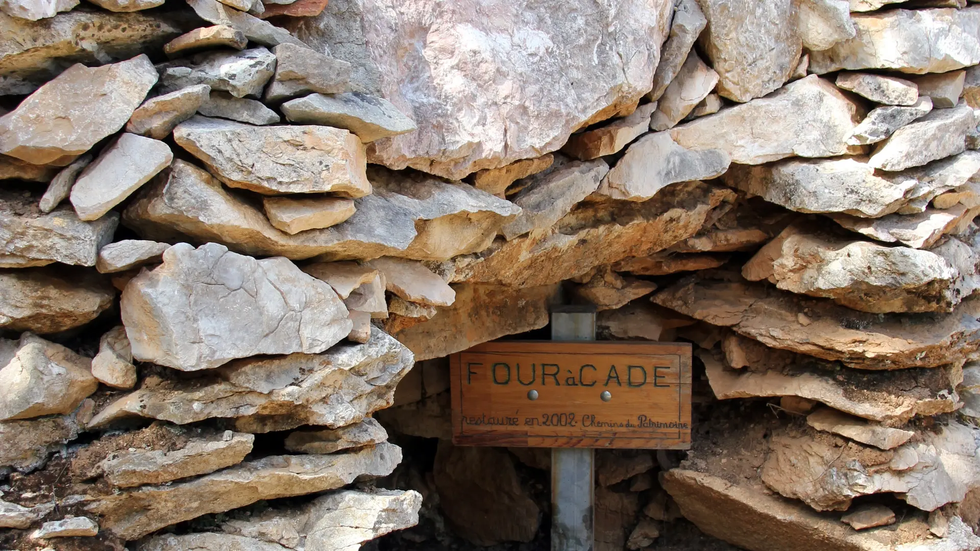
- Four à cade, blue markings:
Continue along the blue route until you reach a large track. Turn right for 40 m and take the left-hand path.
- Jas de Frédéric (post SB 86), follow signs for "Cuges-les-Pins", blue markings.
At Jas de Frédéric, continue downhill on the track heading south.
- Carrefour du Puits de la Buscarle (post SB 85), follow signs for "Cuges-les-Pins", blue markings:
Take the large right-hand track.
- Carrefour des Escoussaous (post SB 82), follow signs for "Cuges-les-Pins", yellow markings:
From the crossroads, return to Cuges-les-Pins via the same route as the outward journey.
- Arrive at Hôtel de ville, place Stanislas Fabre.