Guidebook with maps/step-by-step
1. From the bus stop, take the boulevard Lucien Margaillan opposite to the Barasse car park.
2. From the car park (CG 13 information panel), go past the lime kilns and take the CQ 204 track marked GR2013 and yellow, into the Barasse valley, following the watercourse. At its confluence, follow the Luinant valley on the left, still following the GR2013 markings.
The view widens, the track climbs and the landscape becomes mineral. At the CG13 wooden sign, leave the track and follow the GR2013 on the left towards La Candolle. The path climbs steeply and winds through fragrant flora: argelas, rosemary, globular and kermes oaks. At the upward fork in the path, follow the right-hand branch, which is still marked (limestone slabs on the ground). You arrive at the Col de la Limite, the junction of the outward and return journey.
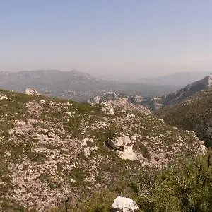
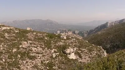
3. At the pass, leave the GR2013 and go up on the left with the blue route on the ridge until the Pointe des Escourtines (alt. 432 m). There is an exceptional view of the Sainte-Baume, the Aurelian mountains, the Garlaban, the Etoile mountain range, the entire Huveaune valley, Marseille and the Bonne Mère, and at your feet the entire Barasse valley.
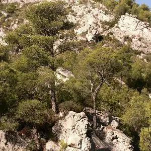
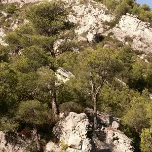
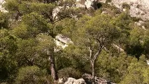
Go down to the right, still following the blue line, on a scree path. Pass a dry stone shelter and at the fork in the road, continue to the right towards the Escourtines valley (indications on a stone). Further on, the path bends to the left and descends steeply into the pine forest (be careful, some rocky passages with your hands!). The blue path arrives at the edge of a small car park at La Millière.
4. At the wooden CG 13 signpost, turn right towards Candolle on the yellow path that follows the deep, pleasantly shaded Escourtines valley.
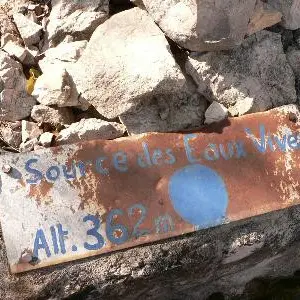
At a fork in the road, the GR2013 comes from the left (from Candolle) and joins the yellow markings. They will not leave you until you reach La Barrasse. With them, continue to the right and further on, the view widens, cross a small welcoming clearing with orchids in spring. Further on, the path runs alongside the ruin of Les Escourtines, an old sheepfold sheltered under the foliage of a large white oak with a long-secret spring! The path is flat and then climbs "dry" following the Col de la Limite.
The return journey is the same as the outward journey in the opposite direction, marked GR2013 and yellow. Be careful on the descents!