©

GM OTI Aubagne

The Saint-Cyr chain

Our legendary routes

Situated to the south-east of Marseille and to the south-west of Aubagne, the Saint-Cyr range runs alongside the Huveaune valley.

The Saint-Cyr chain

Most of the massif is located in the commune of Marseille.
The north-east of the massif is divided between La Penne-sur-Huveaune and Aubagne.
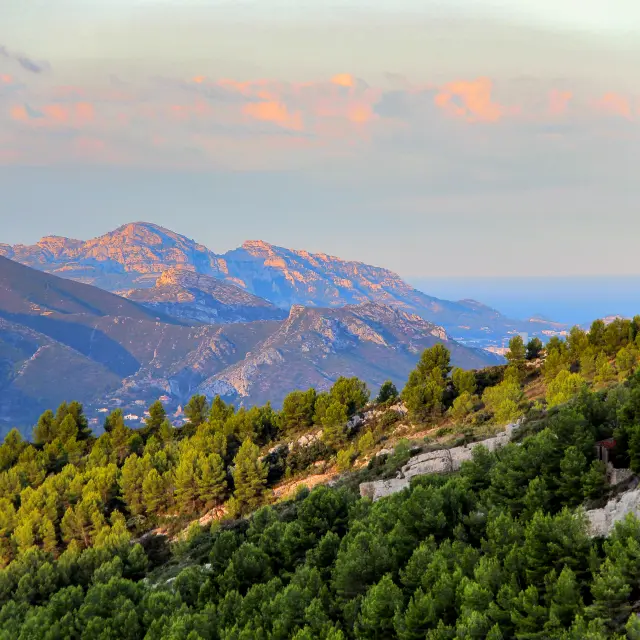
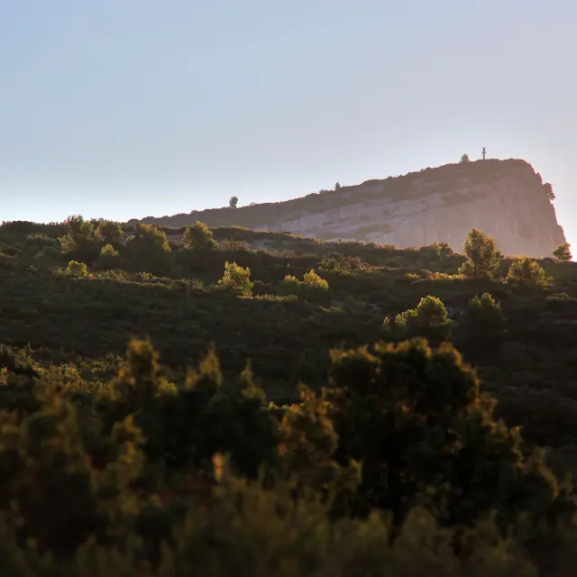
Its highest peak is Mont Carpiagne (646 m).
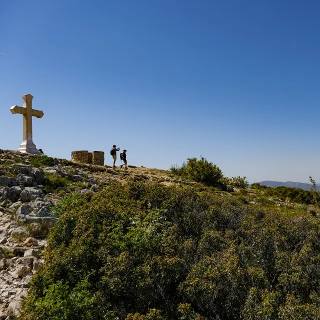
Two peaks in the Chaîne de Saint-Cyr are located in the Pays d’Aubagne et de l’Étoile:

  • La Candolle (404 m) above La Penne-sur-Huveaune,
  • Le Télégraphe (321 m) above La Penne-sur-Huveaune and Aubagne.

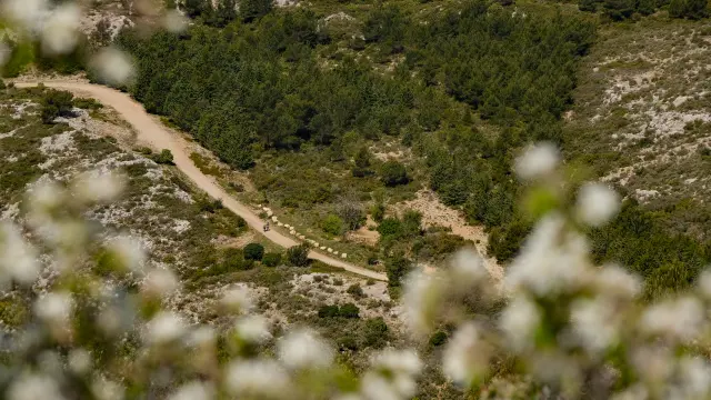
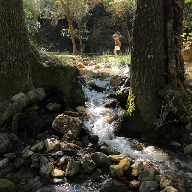
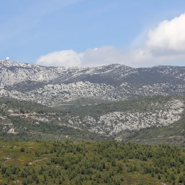
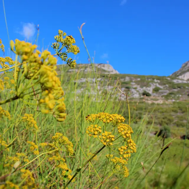
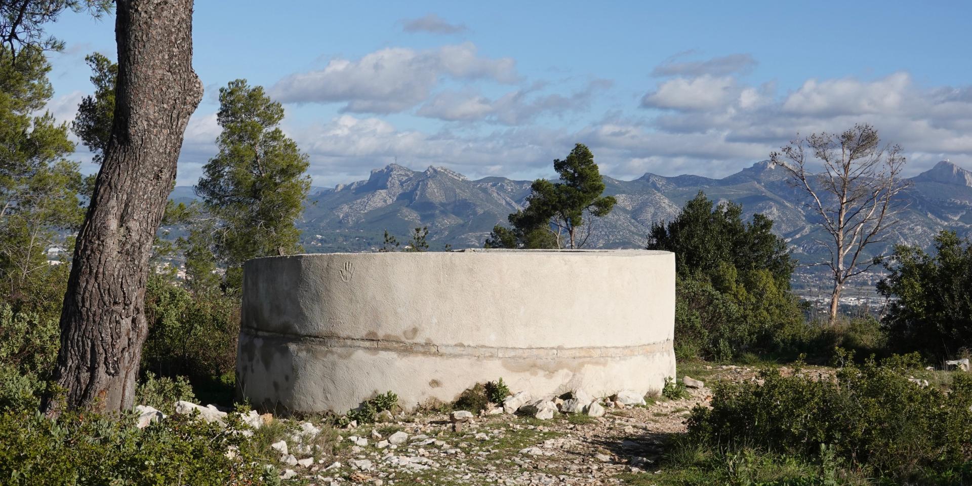
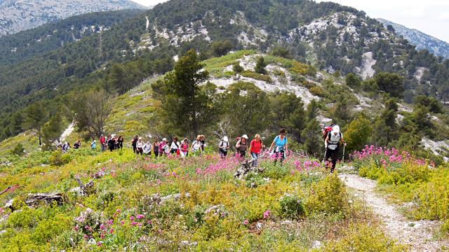
The massif, made entirely of limestone, is criss-crossed by numerous small valleys that resemble a star-shaped network of waterways around the peaks, none of which has a river running through it, except after heavy rainfall.

Guide to good practice

Access to the site by public transport, bicycle or on foot.

Keep to the marked paths.

Respect flora and fauna: do not pick flowers and plants.
Respect the peace and quiet of residents and neighbours.
Do not contaminate springs or wells.
Do not throw stones.
Do not throw away paper or rubbish, but collect your rubbish carefully.

Keep your dog on a lead.

Do not smoke or light fires.

Access to the mountains

Fire prevention

From 1 June to 30 September, access to forest areas is regulated by prefectoral decree and may also be regulated by municipal decree.
Make sure you are well informed during this period before visiting natural areas.

Discover also

Nature in the Pays d'Aubagne